Diia

This website is in test mode
We apologise for any temporary inconvenience. The information on this website is continually updated and expanded.

We apologise for any temporary inconvenience. The information on this website is continually updated and expanded.
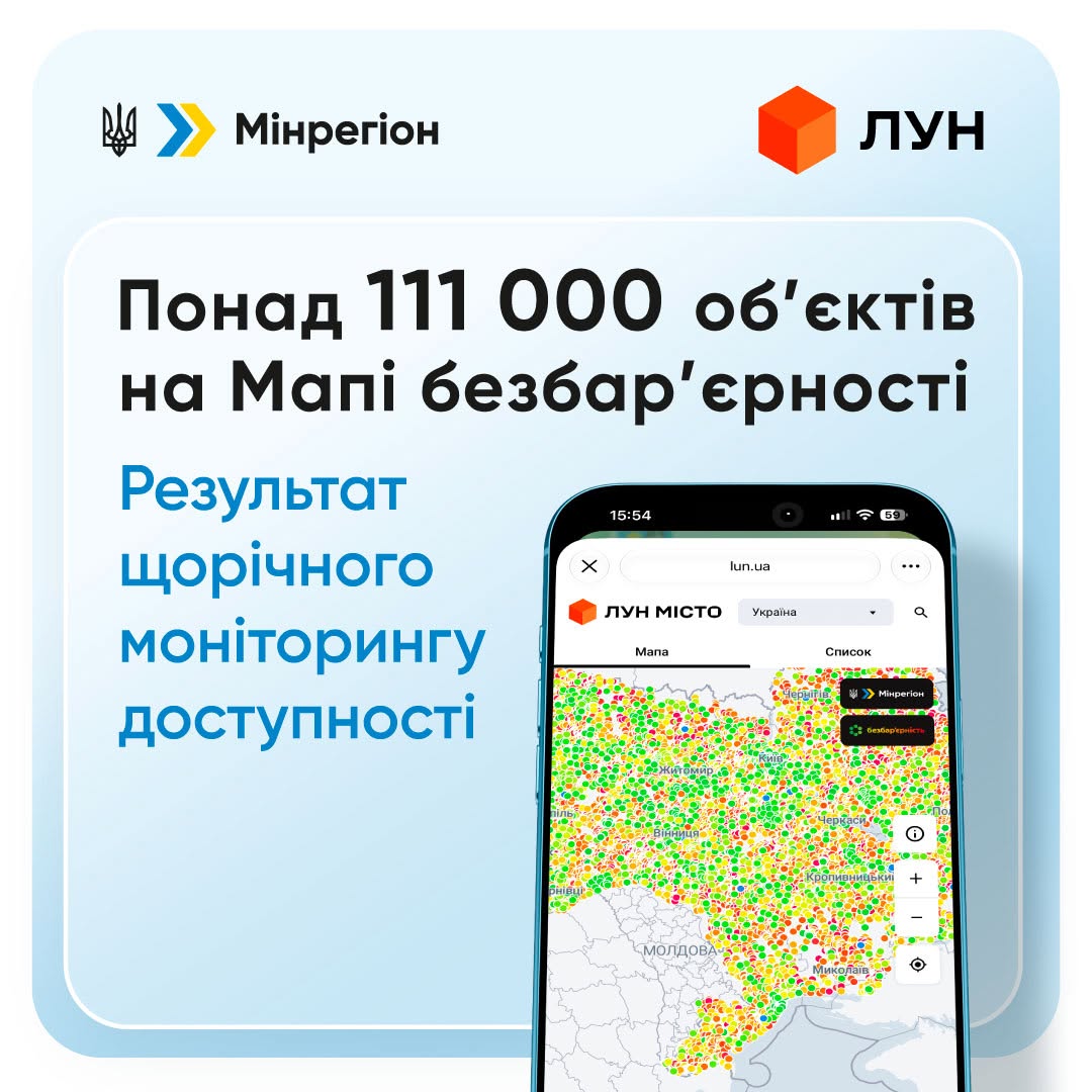
More than 111 thousand locations have already been added to the interactive Accessibility Map. This is the result of accessibility monitoring conducted in communities. Owners and managers surveyed buildings, public spaces, transport infrastructure and other locations using special checklists, recorded the results and identified which changes are needed first.
“The monitoring results reflect the work of thousands of people in communities. We have up-to-date data on the accessibility of facilities and locations in cities and settlements. This is also important for residents, who can find out how accessible the places they need are. Communities can rely on these data when planning territorial development, setting priorities and establishing accessibility goals in development strategies. The results show that much work remains. People use public and business services every day, so accessibility must be a shared task for the state, communities and the private sector,” said Vitalii Bezghin, Ukraine's Minister for Communities, Territories and IDPs.
This year's monitoring ran from 1 July to 30 September — more than 45 thousand locations, including housing and business locations such as shops, banks and cafés, were added in 2026. Monitoring results can be viewed in detail on the Map in real time. This has been possible since 2025 thanks to the ministry's technology partner, LUN.
The Map indicates the accessibility level of each location:
Communities in Lviv, Vinnytsia, Zhytomyr, Kyiv and Dnipropetrovsk regions led in the number of surveys. Between 6 and 10 thousand surveyed locations were added to the Map in each of these regions.
The Map presents accessibility data for locations in almost two dozen categories. These include more than 25 thousand educational institutions, more than 16 thousand cultural and leisure facilities, more than 7 thousand healthcare facilities, more than 10 thousand transport infrastructure facilities, more than 6 thousand social protection facilities, as well as thousands of streets and roads, sports and other facilities.
This year, the list of locations for monitoring was significantly expanded to include apartment buildings, veterans' spaces, petrol stations, hotels and other accommodation facilities, restaurants and cafés, shops, banks, pharmacies, post offices and other service facilities.
At the same time, for security reasons the Map does not publish information about critical or vulnerable infrastructure that communities have identified as unsuitable for public display.
For each published location, the Map provides detailed information about accessibility features that are present or absent, including survey results and photographs. The data are open to community representatives and everyone who wants to check the accessibility of a particular location.